23-24 November 2024
This is Year 1!
This is going to be a small event, due to the remote location and difficulty of terrain. We’re extremely grateful to those of you who have entered, and to the sponsors who have helped make the race possible.
A Race for Conservation
A number of important rivers have their headwaters in the North Swaka. The forests we will be riding through are part of the North Swaka Conservation Trust, which rehabilitates the land and soil for the benefit of the surrounding ecosystems and agriculture. Take a look at their website www.northswakatrust.com.
How to get to the Start/Finish and Campsite
The venue is 18km from the tar road. Budget 30 minutes for this stretch.
We’ve included directions below, but for your own convenience we strongly recommend following the GPX file, which will be posted here.
Coming from Kapiri:
Turn left onto a gravel road about 600m before the toll gate. The GPX route starts here.
Turn left again almost immediately.
Drive 100m and then turn right.
After about 3km you will cross a bridge. On the uphill after the bridge the road splits. Take the road to the right.
Follow this road for 1.5km then turn left at the T junction.
Continue for another 1.5km and turn right at the T junction.
Continue for 5.7km and then turn left onto a jeep-track.
After 1km you’ll come to the Nyamsewe farm gate. From here there will be arrows to bring you to the venue.
What to Bring
Expect tough terrain, with the possibility of both rain and heat — plan accordingly!
If you are camping:
Bedding (everyone) and tent (if self-camping)
Snacks, meals, and drinks for off the bike (if self-catering)
Rain gear
Camp chairs
A variety of hot and cold weather clothing
Drinking water, toilets, and showers will be available at the venue. Please pay for catering if you don’t plan on bringing your own food.
On the bike:
This is a GPS ONLY event. You will need a bike computer with the route loaded in order to complete the route. FINAL GPS ROUTES WILL BE SENT ON THURSDAY, 20 NOVEMBER.
Riding food for up to 6.5 hours
Water & electrolytes for up to 6.5 hours
Basic bike repair kit
SPOT or cell phone, with emergency phone numbers saved (signal is unavailable in most areas) - Nora +260 96 430 1105, Ryan +260 96 430 1144
Small first aid kit
Event Schedule
Friday, 21 November
16:00-17:30 - Packet pickup, Race Briefing, Dinner (included with entry)
Saturday, 22 November
06:00 - Breakfast - paid-catering entrants only
07:00 - Race start
12:00 - Lunch - included with entry
18:00 - Dinner - paid-catering entrants only
Sunday, 23 November
06:00 - Breakfast - paid-catering entrants only
07:00 Race start - 60km & 40km
12:00 - Lunch - included with entry for 60km & 40km
18:00 - Dinner - paid-catering entrants only
Note that final GPX routes will only be sent on Thursday, 20 November.
The Routes
Day 1: 60km | 1100m ascent
With 1100m of climbing over 60km, no roads and very few free kilometers, it’s a tough one.
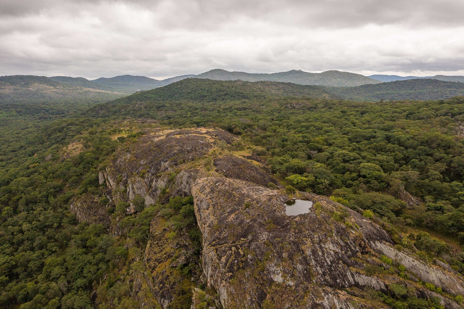
Trails wind their way through miombo woodlands and along the edges of dambos. Loamy soil means the trails are smooth and forgiving: until they turn upwards.
Climbs are steep and technical: often exceeding 12% in gradient, but rarely lasting longer than 500m. You’ll likely run out of gears, and rely on low-cadence torque as well as your technical climbing skill to get you to the top. Once you’re up there, though, the views are stunning. Uninterrupted forest stretches as far as the eye can see, nestled between mountains, cliffs, and curious rock formations.
The downhills make the climbs more than worth it. They alternate between fast, flowing and steep, rocky, technical sections. They remind you why you bought a bike in the first place.
Day 2: 60km | 1000m
Details coming soon.
The Swaka Sunday: 40km
A single day, 40km ride for the Swaka-curious.


